Signs of flooding
Flooding on South Oxford’s flood plain is not uncommon. It happens almost every year. It is useful to know when more serious flooding is likely to affect properties, sewers and the transport network. The most important thing to do is sign up for flood warnings. You can check for local flood warnings here.
What happens in the early stages of a flood?
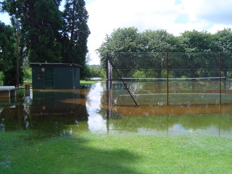
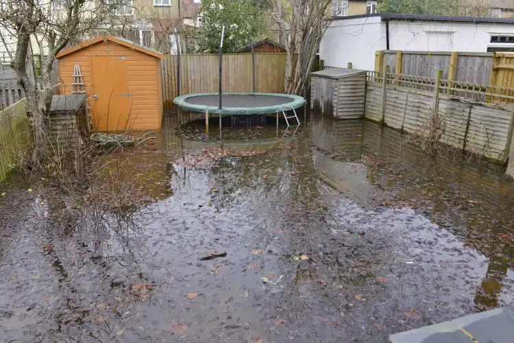
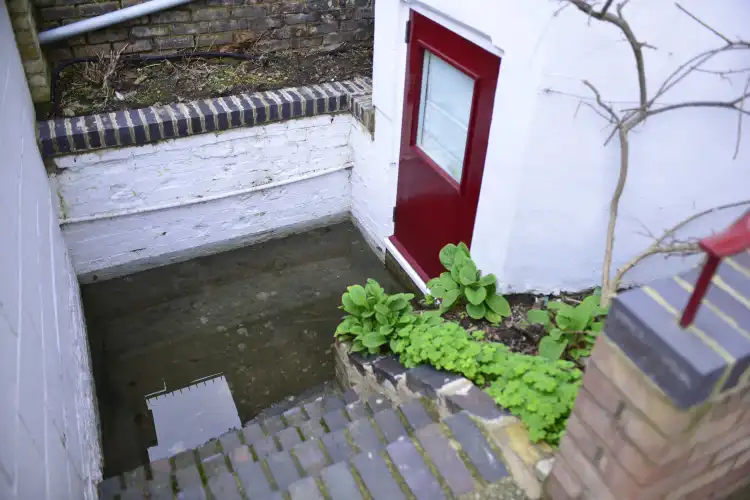
At the early stages of a flood in South Oxford, the following areas begin to flood with river or groundwater, or a mix of the two.
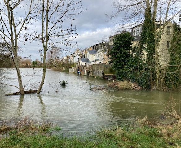
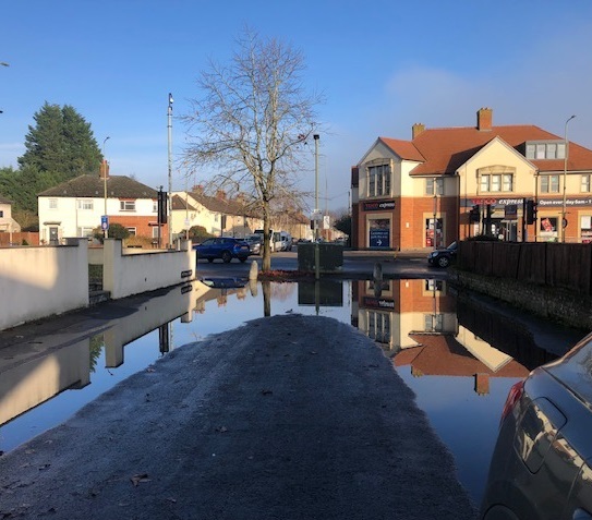
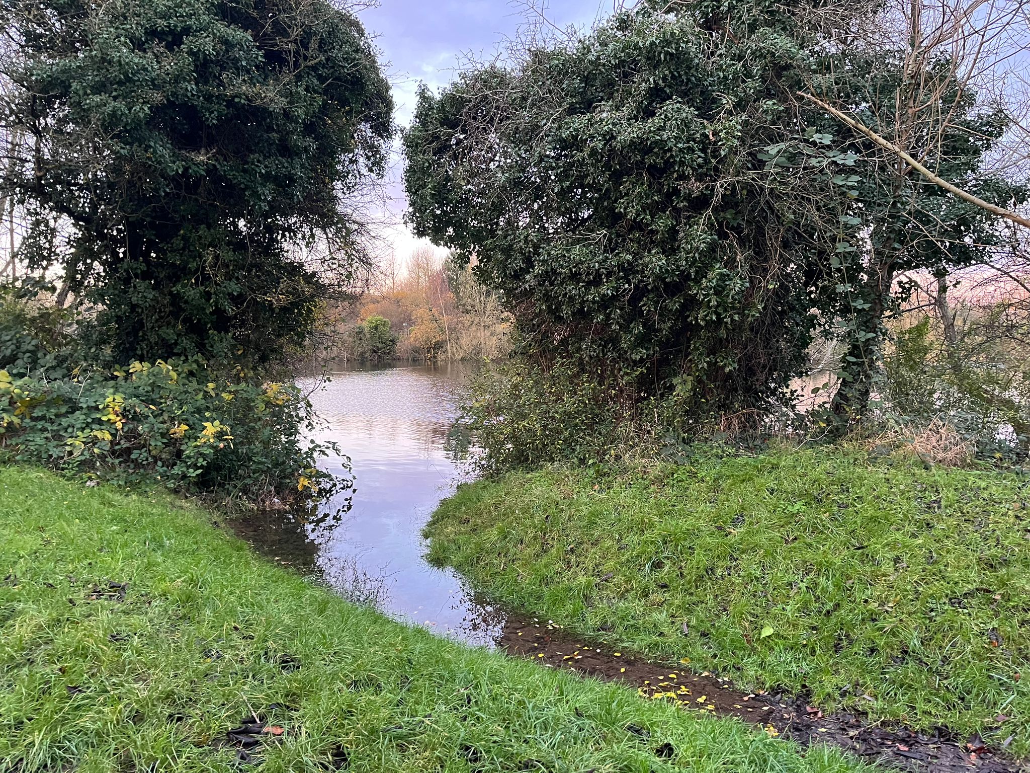
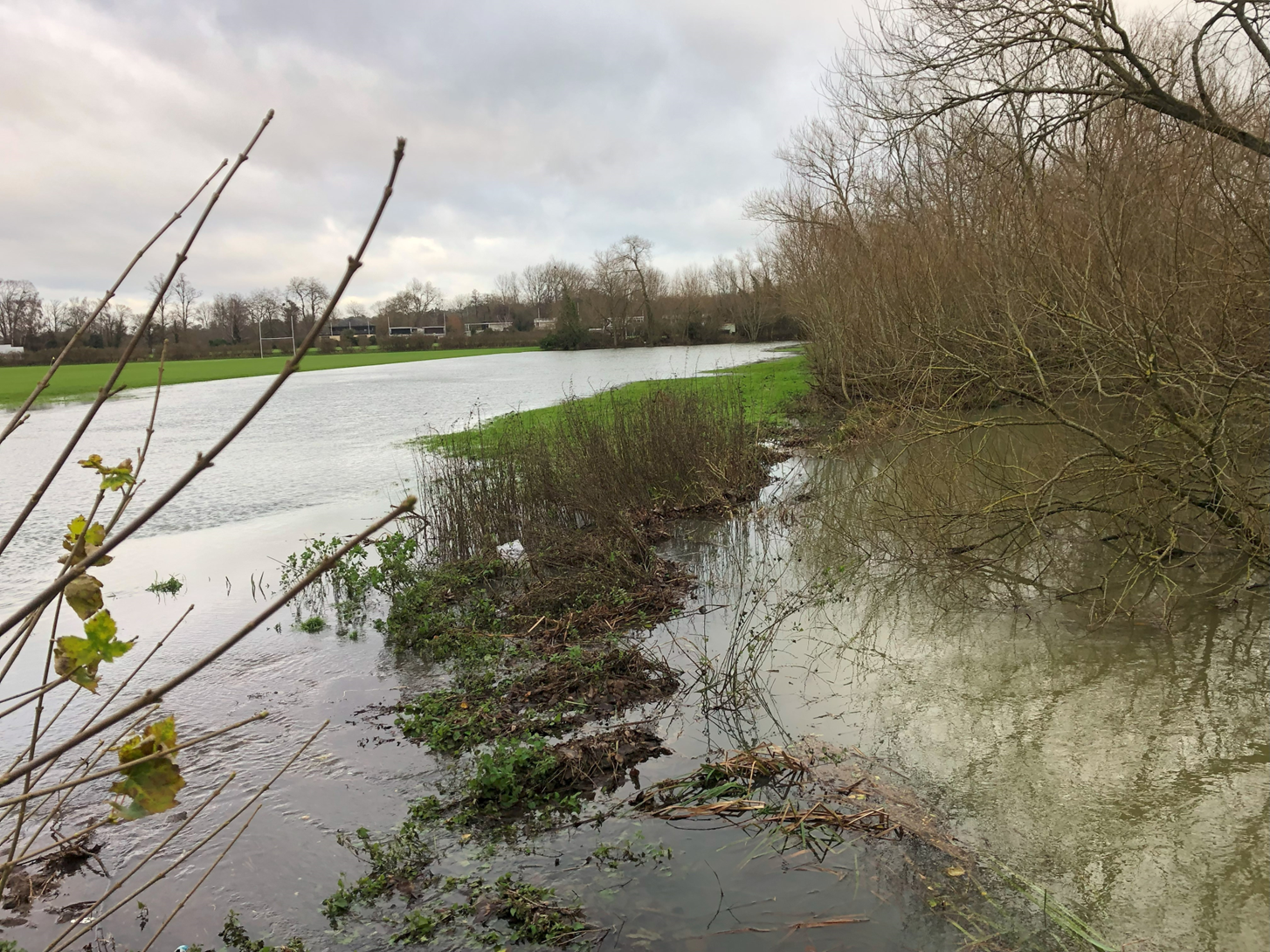
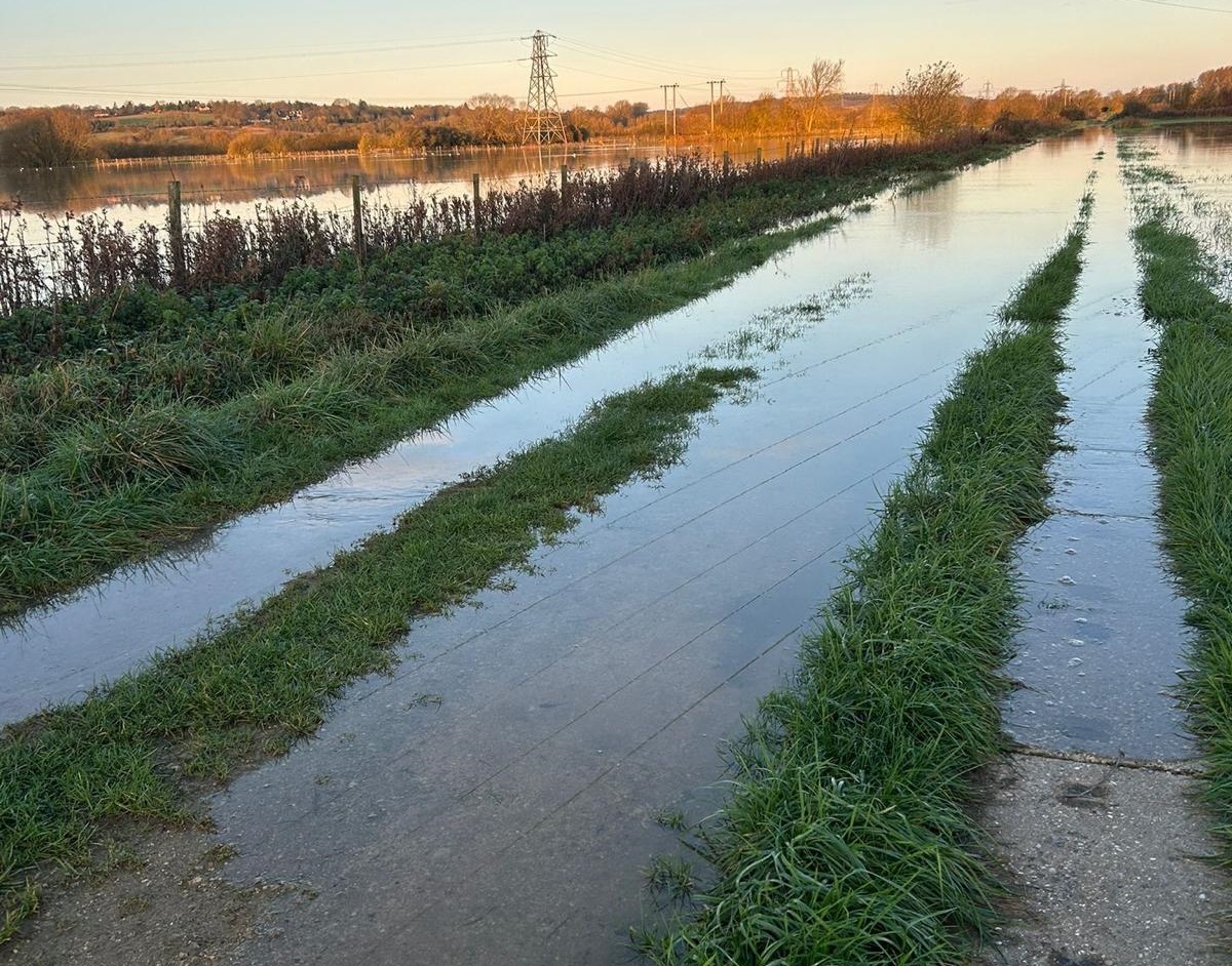

Signs that the flood is becoming more serious:
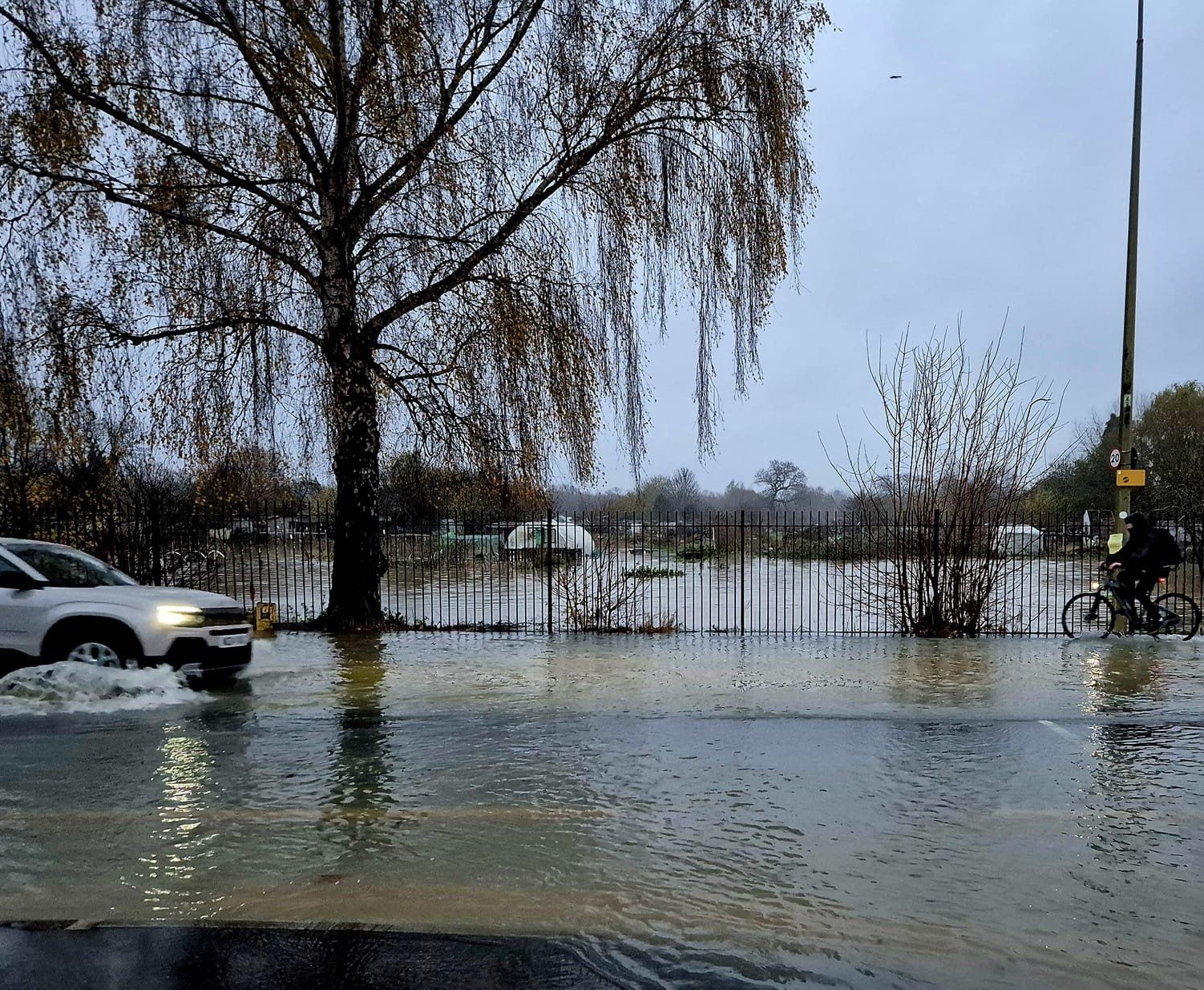
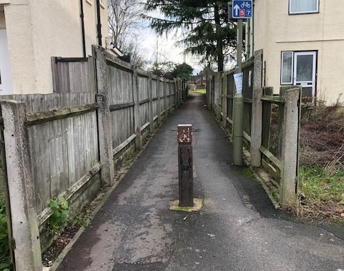
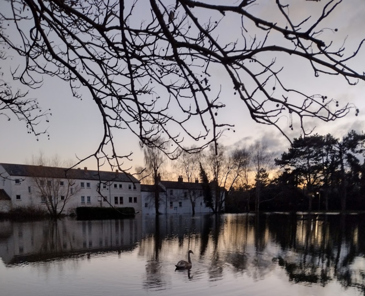
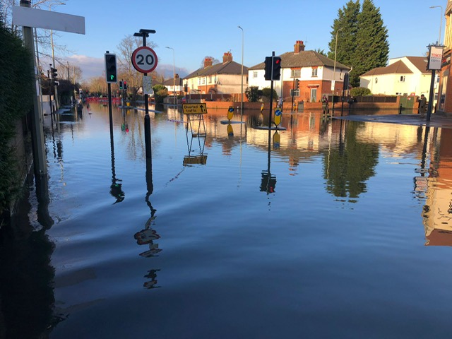
If the Abingdon Road is closed, the High Street may be open to traffic through the bus gate, and residents may be able to use the Redbridge Park & Ride free-of-charge.
How to check river levels during a flood
Anu Dudia’s Isis river levelsis for rowers. It compares past and present river levels, and so is useful for tracking and forecasting river levels.
This government website allows you to check rainfall, river levels, and current flood warnings.